 |
 |
 |
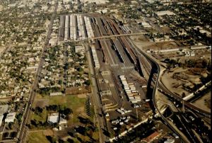
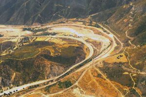
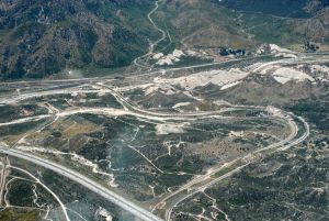
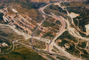
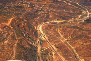
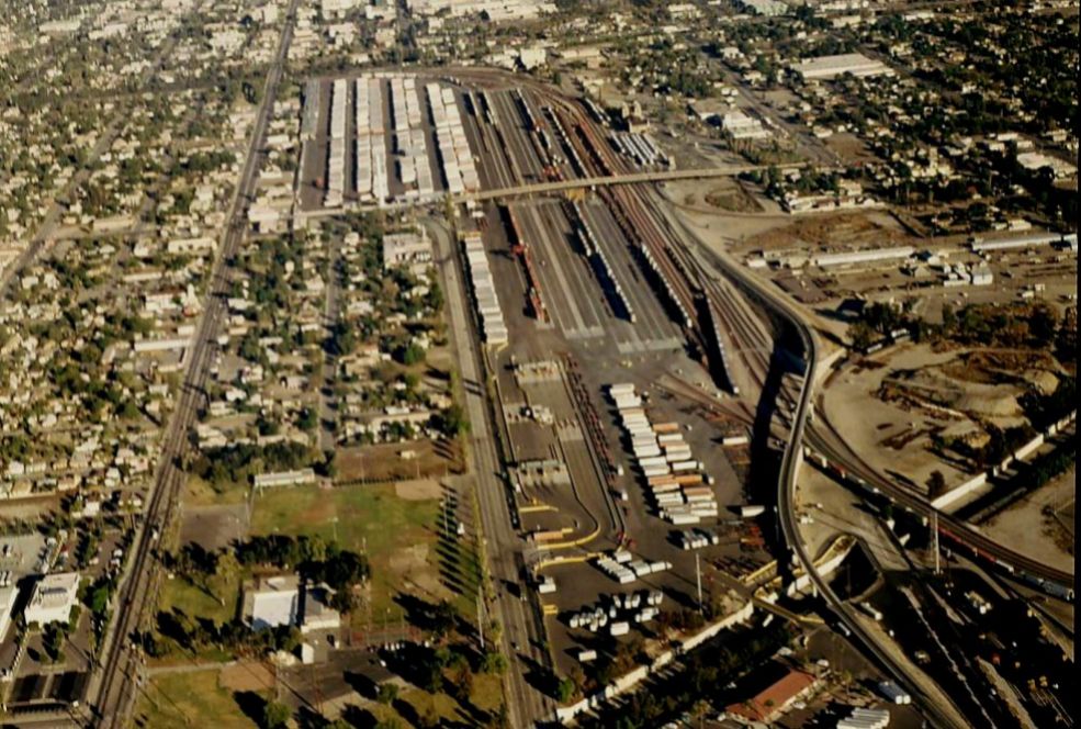
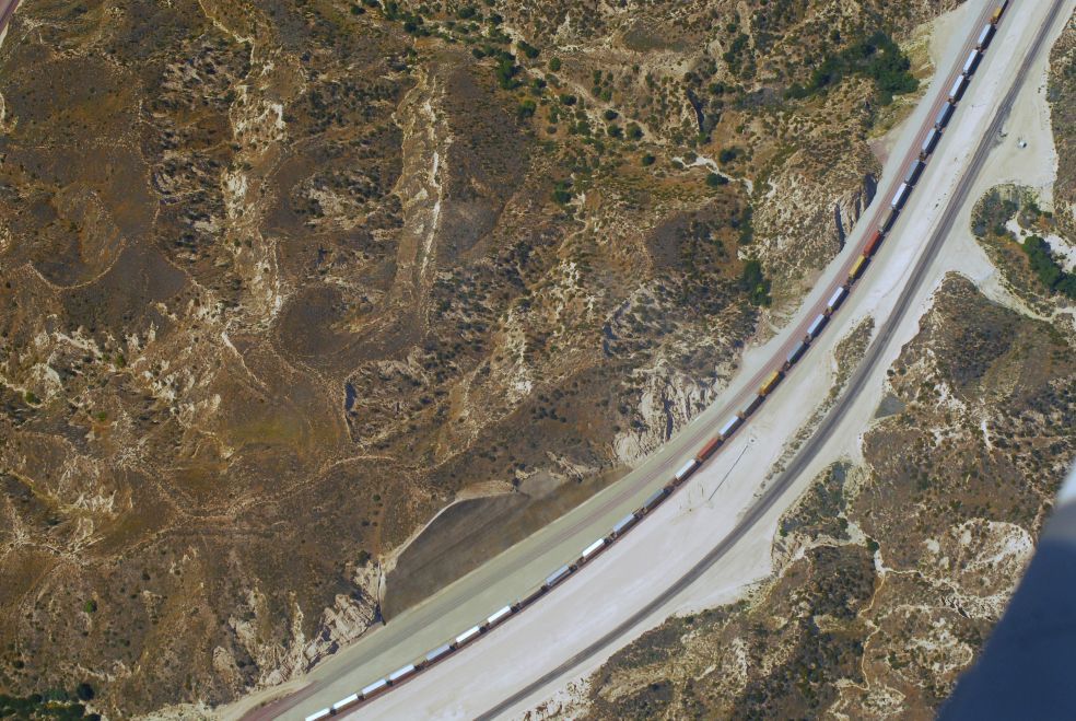
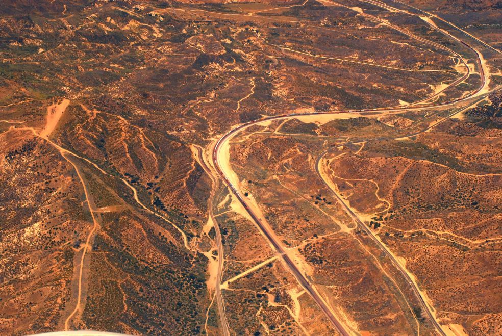
| San Bernardino -
DC-01 |
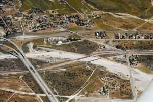
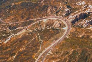
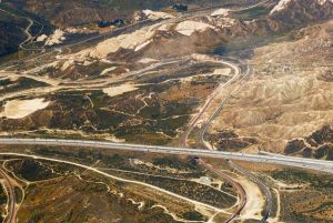
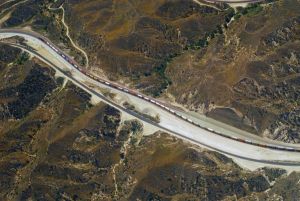
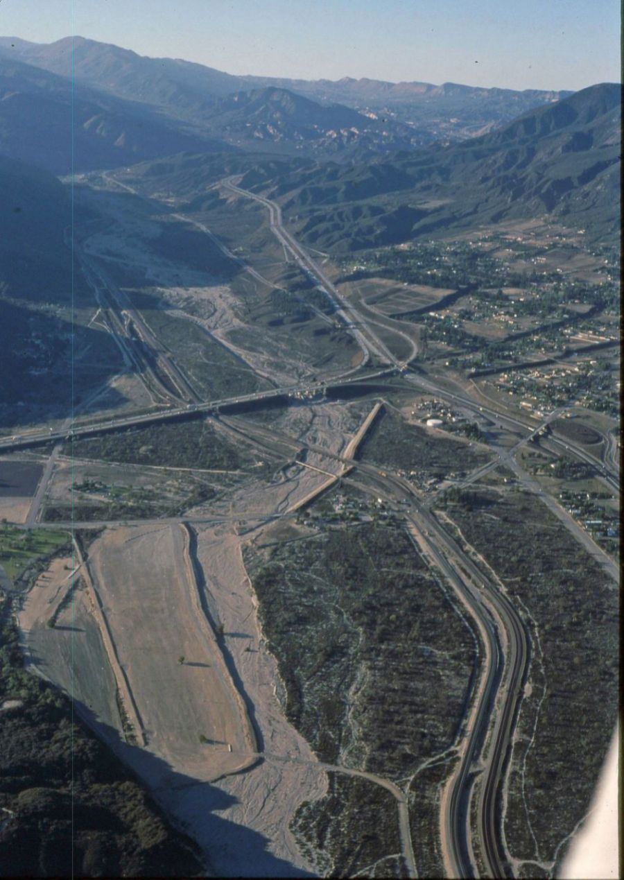
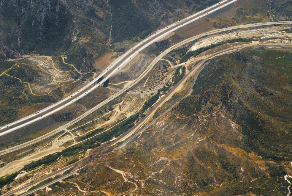
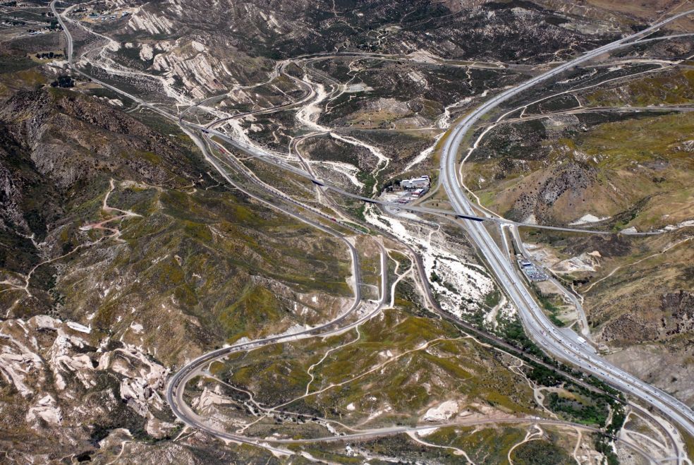
Devore
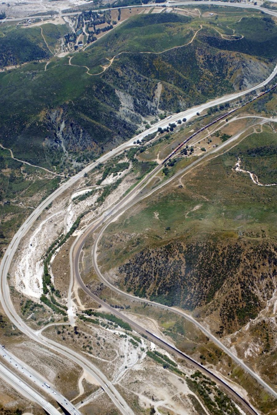
(I-15/I-215) - DC-02 |
Devore (in the
middle is I-15) - DC-03 |
 |
 |
 |
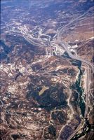
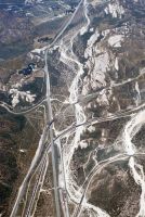
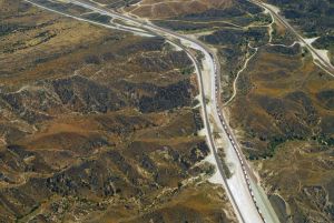
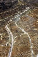
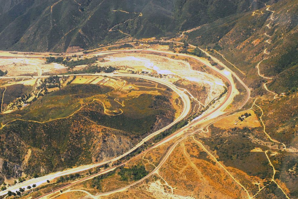
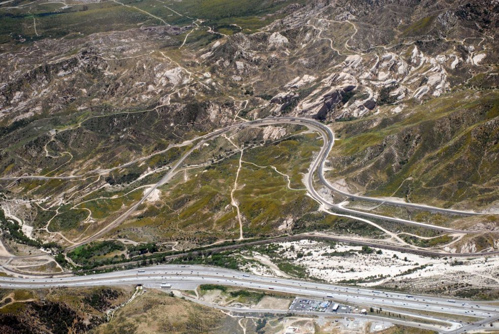
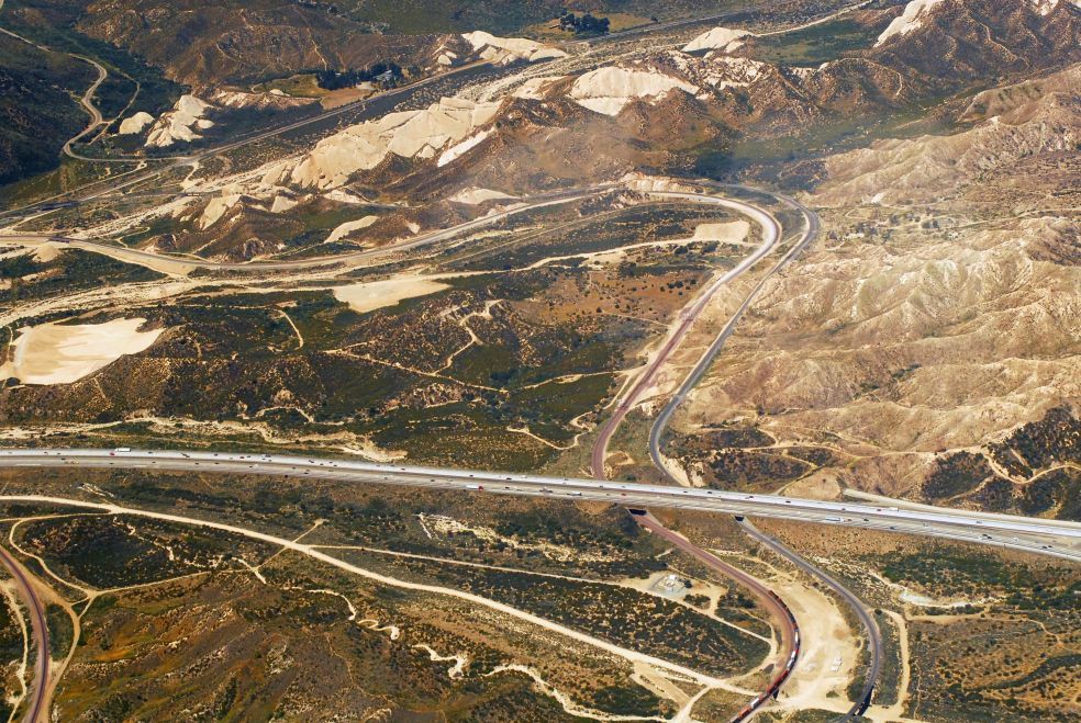
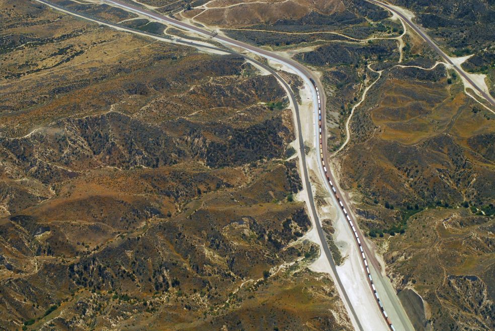
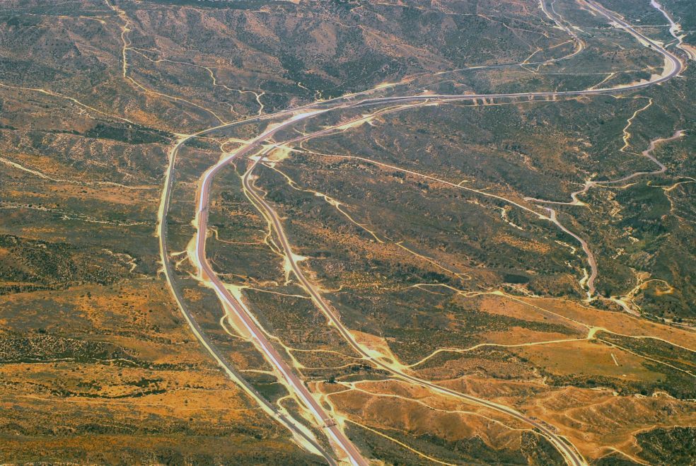
| Looking down from
SWC to Blue Cut - DC-04 |
Same area w/Cajon
Blvd at left - DC-05 |
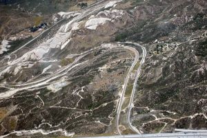
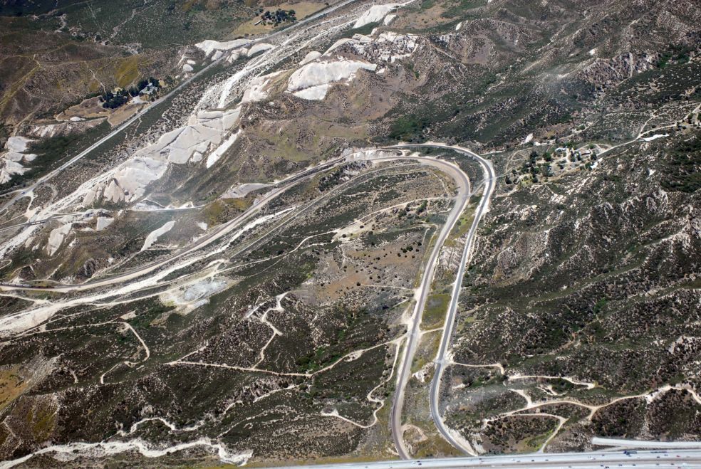
Swarthout Canyon
Road area - DC-06 |
 |
 |
 |
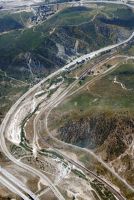
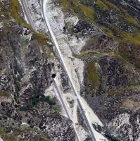
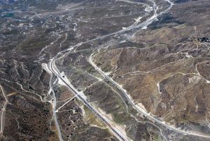
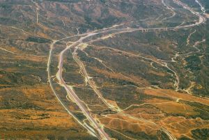
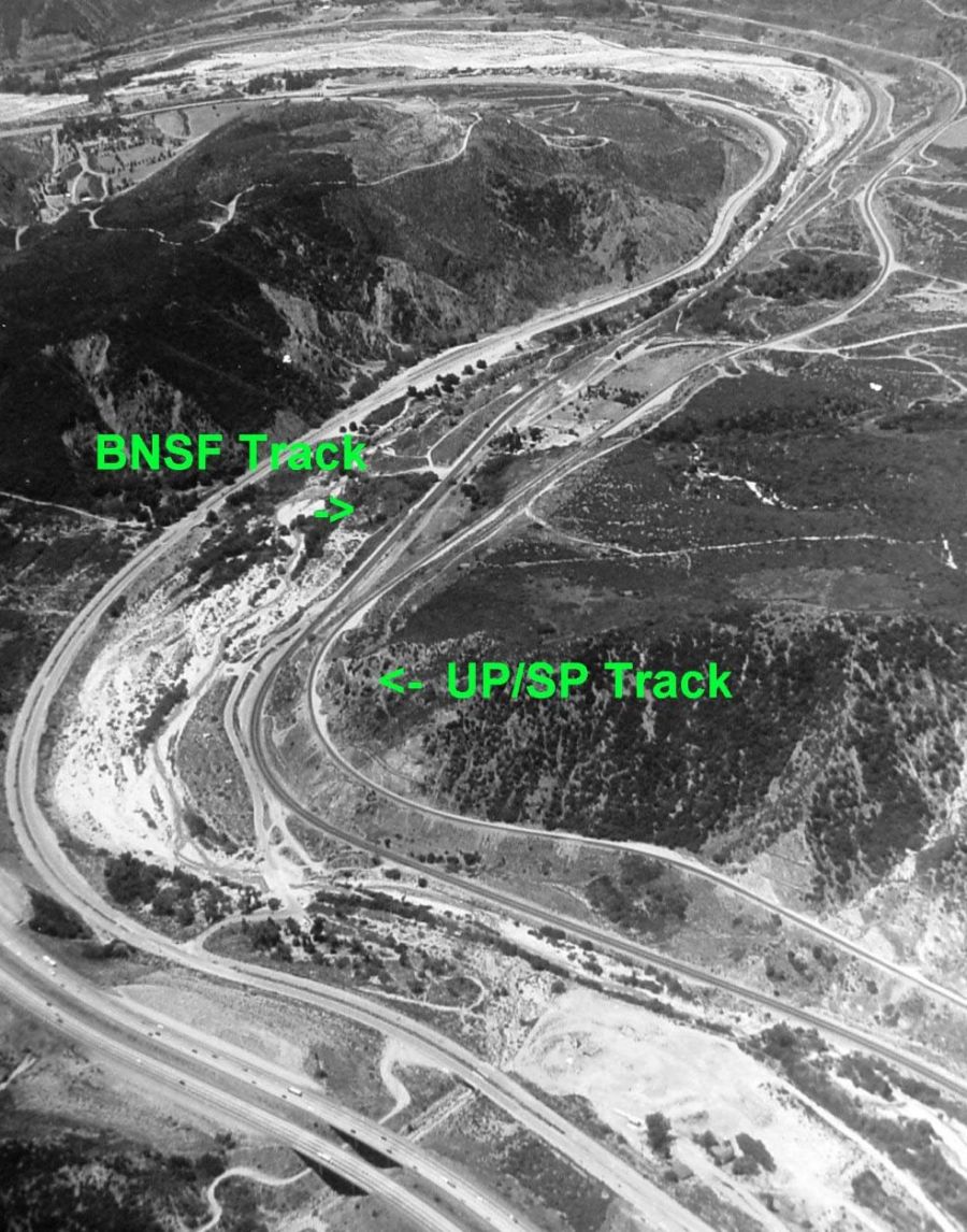
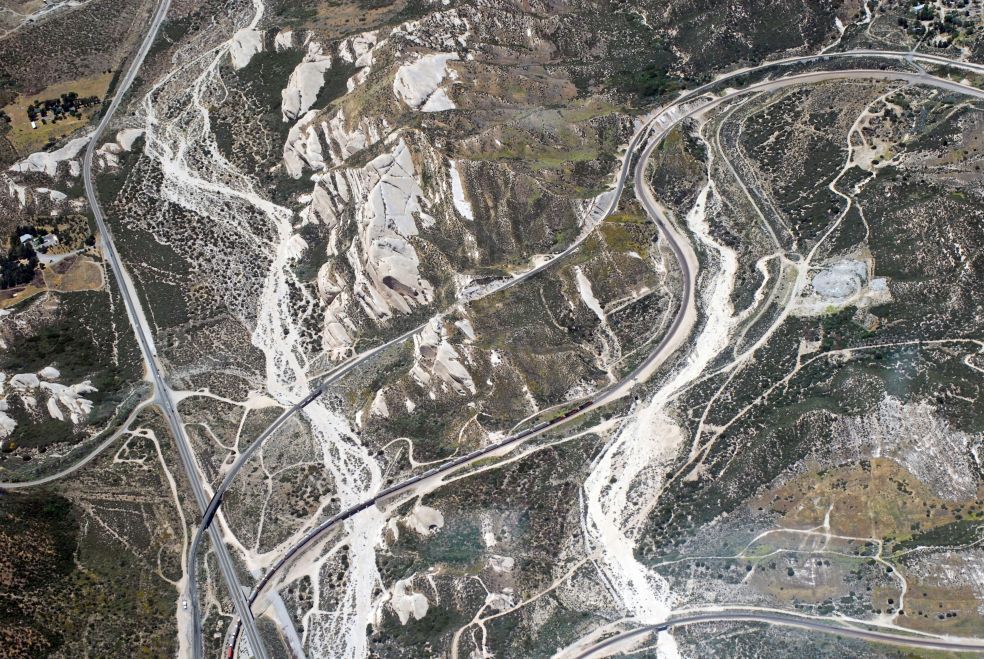
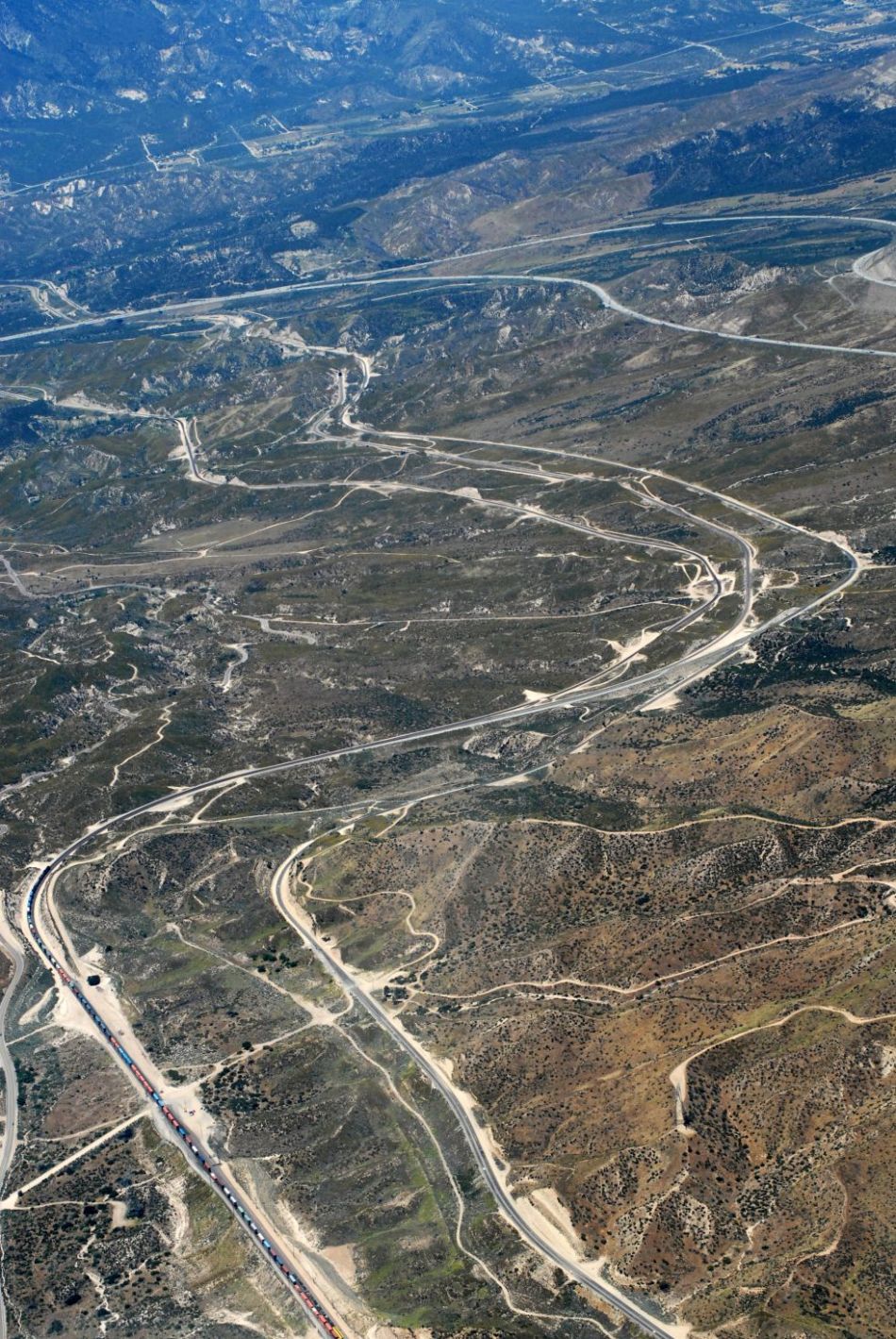
| Blue Cut - DC-07 |
Curve above SWC
w/3MT - DC-08 |
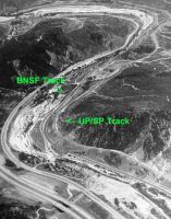
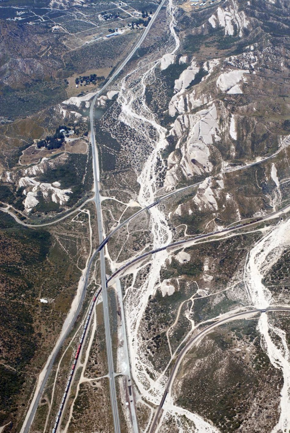
I-15, Route 66,
BNSF tracks, UP track - DC-09 |
 |
 |
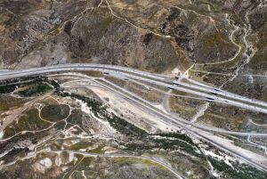 |
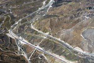
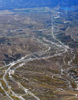
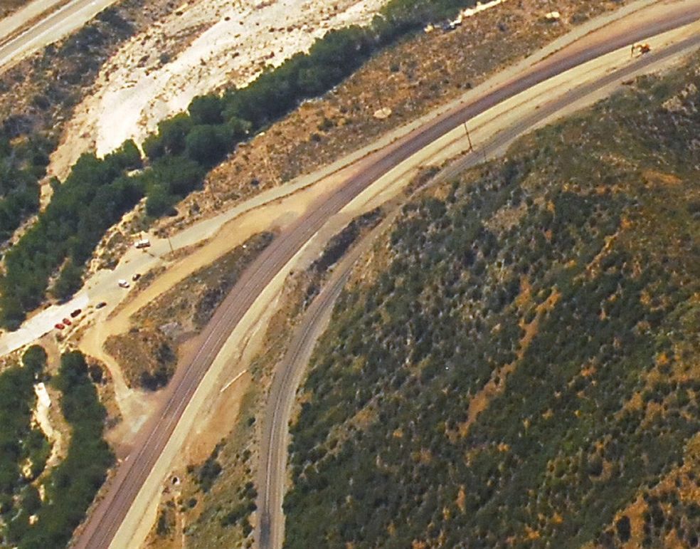
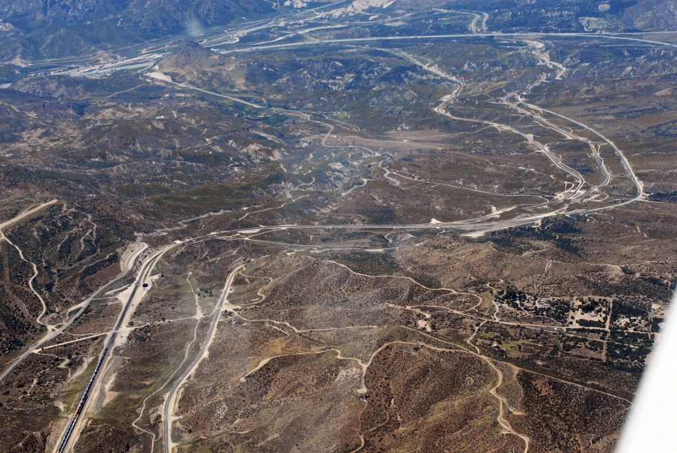
| Route 66 w/SWC
Exit in the middle - DC-10 |
Looking uphill
from Cajon Station - DC-11 |
Cajon Station w/Cleghorn
exit - DC-12 |
 |
 |
 |
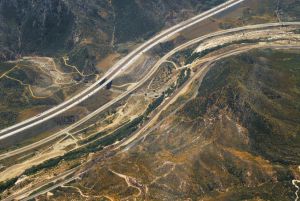
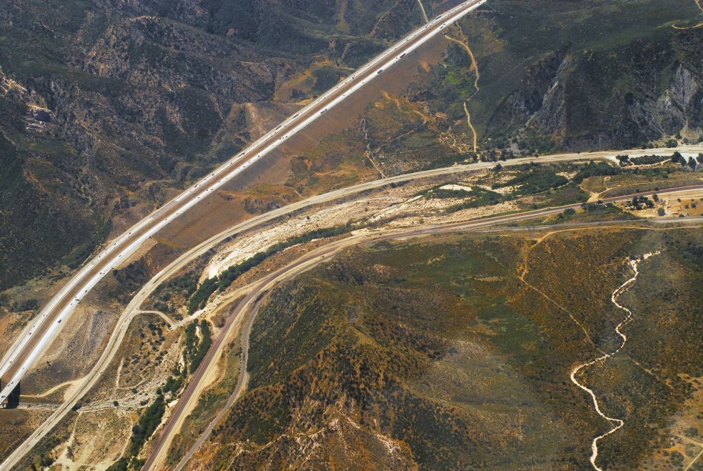
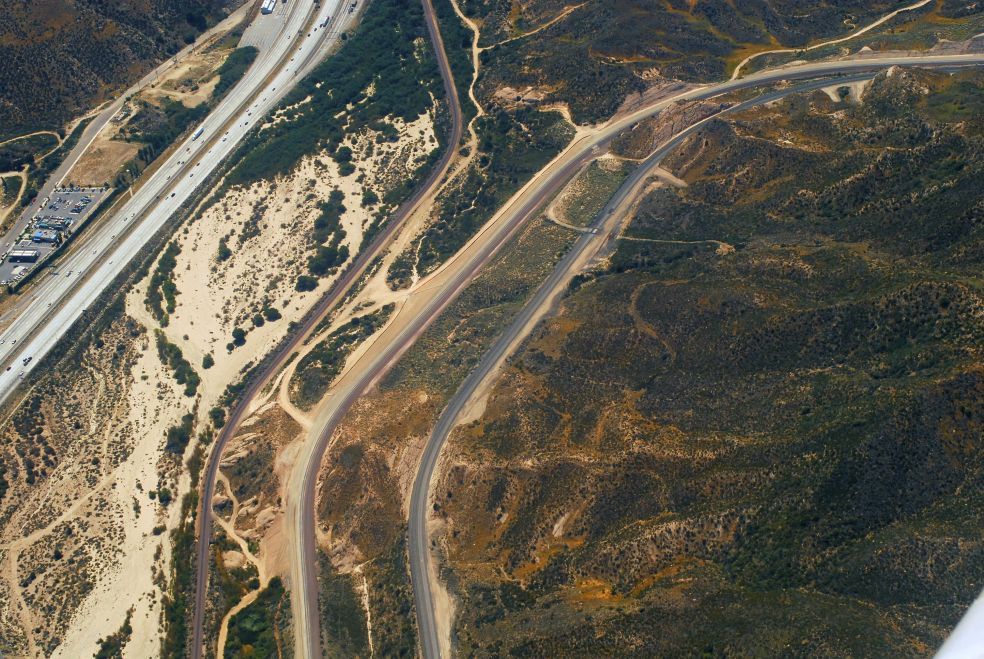
| I-15 w/McDonalds
and Sullivan's at the back DC-13 |
McDo, I-15, BNSF
ST, BNSF NT, UP track - DC-14 |
Sullivan's Curve
w/3MT roadbed - DC-15 |
 |
 |
 |
| Sullivan's, Hwy
138, Mormon Rocks - DC-16 |
In the middle is
Davis Ranch Road - DC-19 |
Mormon Rocks from
I-15 to Hwy 138 - DC-20 |
 |
 |
 |
| Mormon Rocks w/Hwy
138 at left - DC-21 |
Mormon Rocks w/Hwy
138 - DC-22 |
Mormon Rocks seen
from I-15 - DC-23 |
 |
 |
 |
| Mormon Rocks seen
from Hwy 138 - DC-24 |
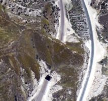
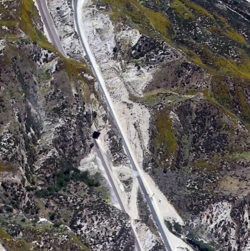
Detail of Tunnel 2
East Portal - DC-25 |
Detail of Tunnel
1 East Portal - DC-26 |
 |
 |
 |
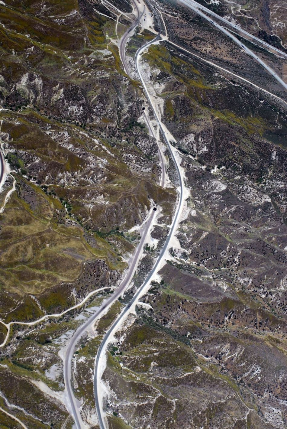
| Tunnel 1 and
Tunnel 2 are still in place - DC-27 |
Former Tunnel 1
w/EB train on shoe fly - DC-28 |
Retaining wall w/same
train - DC-29 |
 |
 |
 |
| Former T-1 shoe
fly w/EB train - DC-30 |
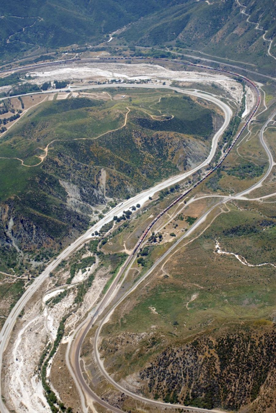
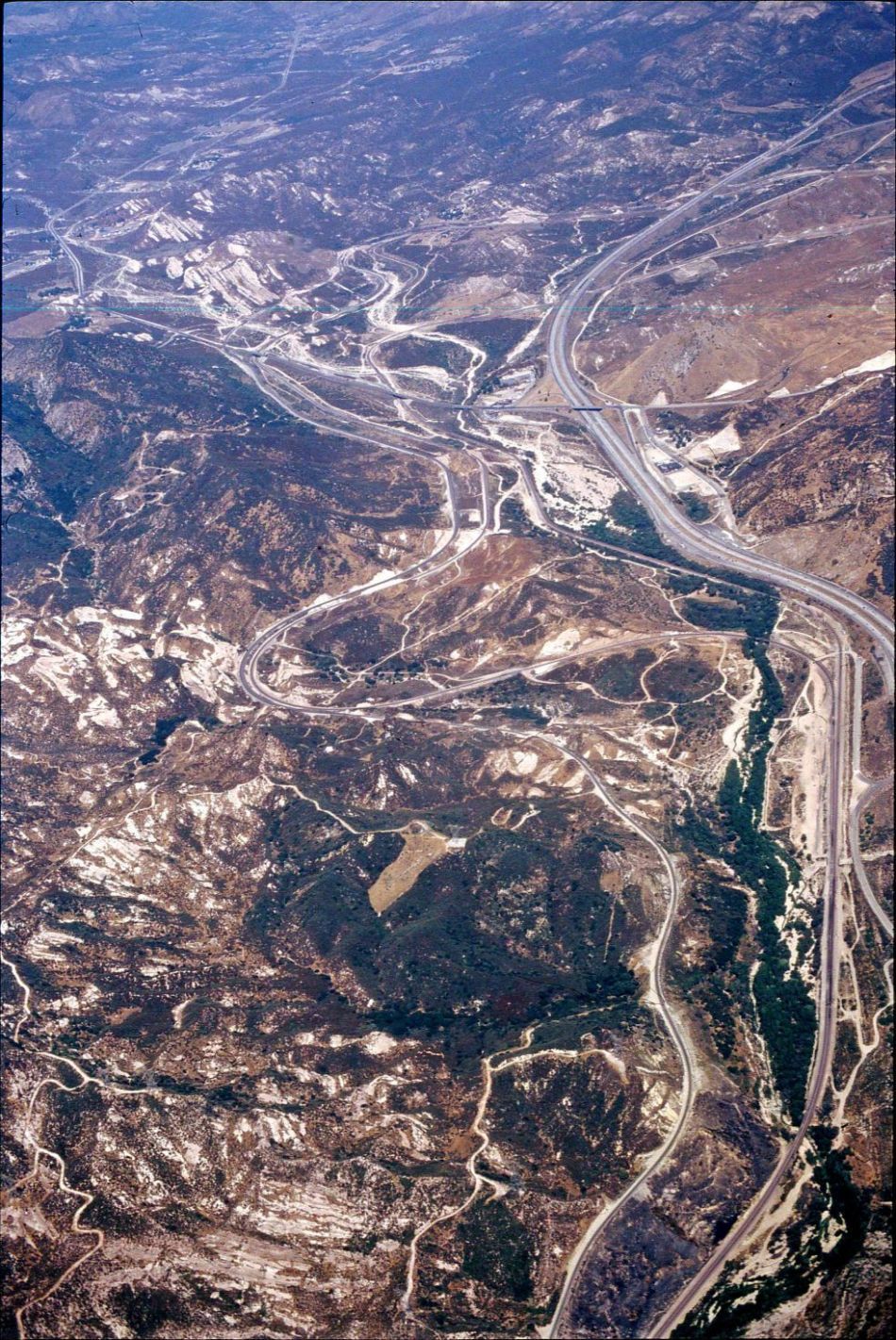
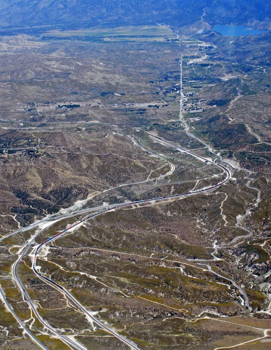
Summit to Alray
incl. Tunnels - DC-31 |
BNSF Summit and
UP Hiland - DC-32 |
 |
 |
 |
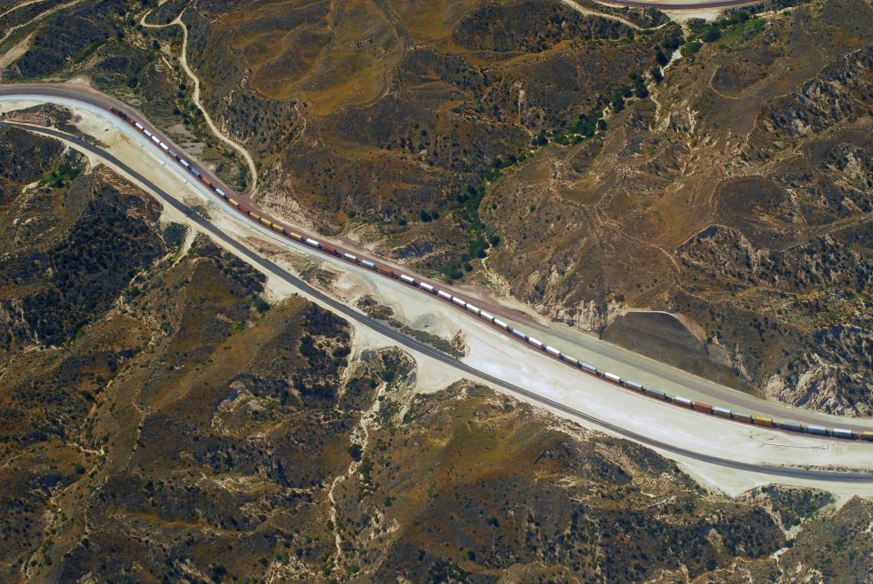
| Summit w/train on
BNSF tracks - DC-33 |
From Summit to
Mormon Rocks on top - DC-34 |
Summit w/WB train
on 3MT - DC-35 |
 |
 |
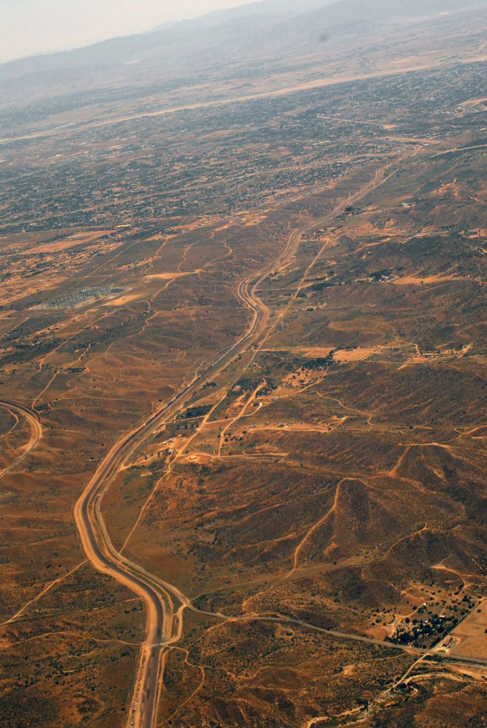
| Silverwood w/Hill
582 below middle and 3MT - DC-36 |
Martinez
to Summit - DC-37 / Silverwood to Summit - DC-38
/ Lugo to Hesperia - DC-39 |